Geologic History of Bohol
The island of Bohol, sitting elegantly between several islands of Visayas and Mindanao, took different forms throughout its geologic history. Its parts did not come together in one fell swoop, but was pieced together geologically for long, long, long time. From its lowly undersea abyssal beginnings to its subaerial idyllic magnificence, its geologic history is marked by periods of tectonic turbulence and occasional quiescence spanning nearly a hundred and fifty million years in the making.
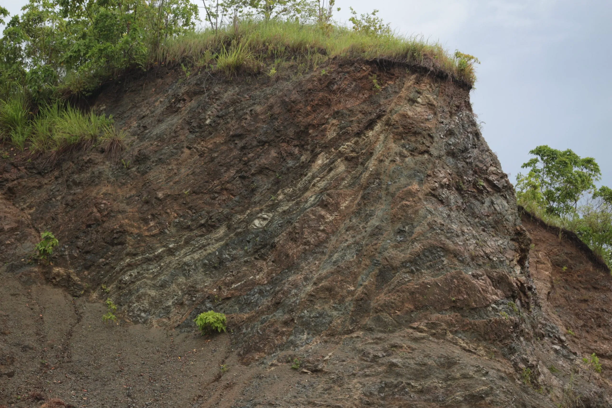
Its oldest rock, Alicia Schist, was forged in the depths of the sea between the Late Jurassic to Early Cretaceous (146 mya – 66 mya). It started as sediments that were deposited in an ocean basin far from its present location. The sediments were later metamorphosed into schist during its undersea lithospheric tectonic movements before converging with the Bohol Ophiolite. The Bohol Ophiolite is a slice of complete oceanic lithosphere that formed nowhere near its present spot. It was forged in the depths of an ancient sea as well. For a very protracted time during the Cretaceous to Paleocene (66 mya – 56 mya), it ramped onto the older Alicia Schist during their tectonic convergence, and thus shaped the basement rocks of Bohol on top of which all the other younger rocks were built upon.
Between the Paleocene to Late Eocene times (56 mya – 38 mya) there was a prolonged period of either an emergence from the sea, causing the erosion of rocks, or an absence of deposition, such that the rock record went missing altogether. However, a surge in undersea volcanism and deposition during the Late Eocene to Oligocene produced the Ubay Formation, with its volcanic rocks and interlayering sedimentaries. Meanwhile during the Early Oligocene (33 mya – 27 mya), the western part of the sea was favorably quiet and calm for the deposition of low energy Ilihan Shale.
Continuous magmatism below the surface of the rocks by the Late Oligocene time (27 mya – 23 mya) supplied molten material for the various igneous intrusions that were cutting through the older rocks. These now hardened rock intrusions such as Getafe Andesite, Talibon Diorite and Jagna Andesite, can be observed in either the northern part of Bohol or in the southeast.
The fledgling undersea platform of Bohol was beginning to take shape, mass and space, but was still well and truly submerged. In some places it had the right conditions for temperature and water depth to hold a niche for conquering minute organisms, such as forams, and invertebrates, such as corals, that make up some of the limestone from these early times. Orbitoid forams comprise the Wahig Limestone, which was formed in the Early to Middle Miocene (23 mya – 11 mya). A possibly brief period of falling sea or emerging land promoted erosion of the Wahig Limestone real estate and some older rocks. Another subsequent submergence provided excellent conditions for the planktic forams and nanoplanktons that later became part of the clastics, volcaniclastics and limestones of the Carmen Formation at the end of the Middle Miocene. The underwater environment in the continuously shallowing sea in the Late Miocene (11 mya – 5 mya) was suitable for the establishment of widespread coral reefs that formed the Sierra Bullones Limestone on top of the Carmen Formation, especially in the east. In the west, the growing undersea platform provided a niche for the extensive reef forming species which comprise the limestone member of the Maribojoc Formation by the Pliocene time (5 mya – 2 mya). Slow emergence of the land in the Late Pleistocene time (0.126 mya – 0.117 mya), due in part to tectonic movements and the eventual erosion of the land, contributed to the sculpting of the landscape of Bohol that we now see today.
Chocolate Hills
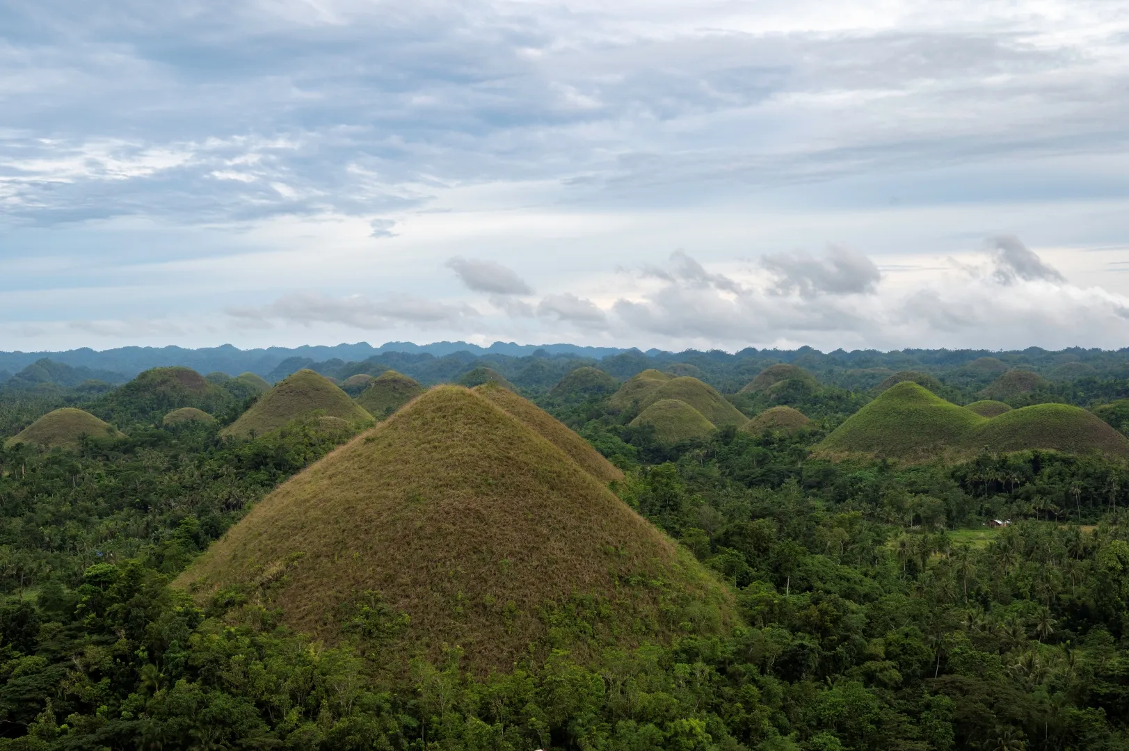
The unique karst landscape is composed of smooth, uniformly shaped conical isolated hills that cover a vast area in the central portion of the island. The site was once a platform of thick widespread buildup of coral reefs that thrived during the Pliocene, approximately 2-5 million years ago and later to form a sedimentary formation. Soon, this limestone formation was raised above the sea level and fractured. Rainwater, streams and groundwater dissolved the limestone, gradually forming the present landscape of cone karst.
Baclayon Church
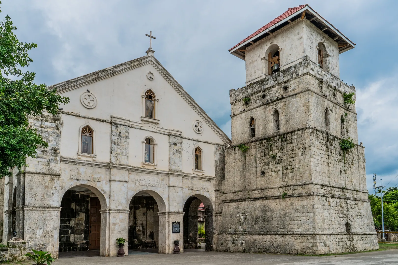
It is considered the second oldest stone-church in the Philippines and a National Cultural Treasure, It was established in late 16th century. It became a parish in 1717. Constructed out of coral stones, the church has two decades: an inner one which was classically inspired and the outer one built in the 19th century by the Recollects. Adjacent to this church is the old convent and a museum with the centuries-old religious relics, artifacts and other antiques. Recently, the facade was destroyed by the October 15, 2013, 7.2 magnitude earthquake.
The Philippine Tarsier
The Philippine Tarsier, known locally as “Mamag” in Luzon or “Mawmag” in Visayans/Cebuano, stands as an iconic tourist attraction in Bohol. Representing one of the planet’s oldest and tiniest primates, the Tarsier is thought to belong to the Tarsiidae primate family, which dates back over 45 million years.
Alicia Panoramic Park
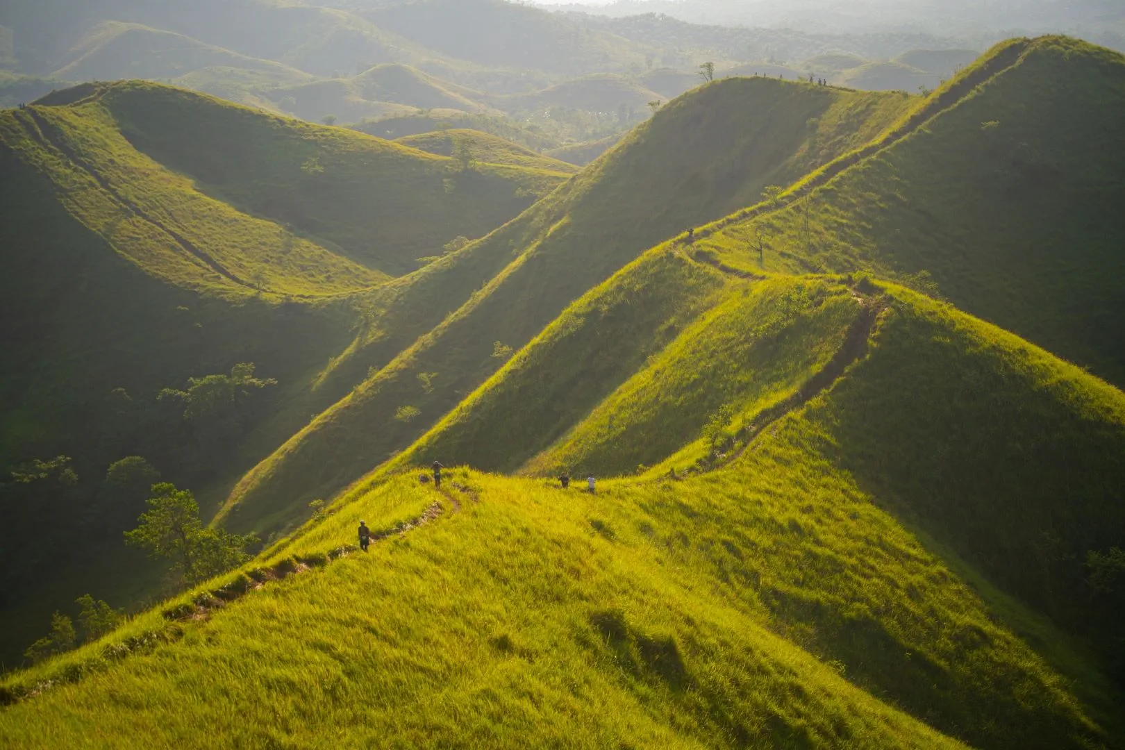
The Alicia Panoramic Park features the breathtaking landscape of Binabaje Hills of Brgy. Cambaol in Alica Municipality. The hills, which rise to 400 meters above sea level, are mostly covered in tropical perennial grasses commonly known as Cogon. These tall green grasses wave gently as the breeze passes, giving a soft furry-like appearance to the hills, which is composed primarily of metamorphic rock – the Alicia Schist, the oldest rock in Bohol (Late Jurassic – Early Cretaceous, 146 mya – 66 mya). Many adventure-seekers enjoy trekking the ridge trails over the hills and the picture-perfect and stunning green scenery.
Can-Umantad Falls
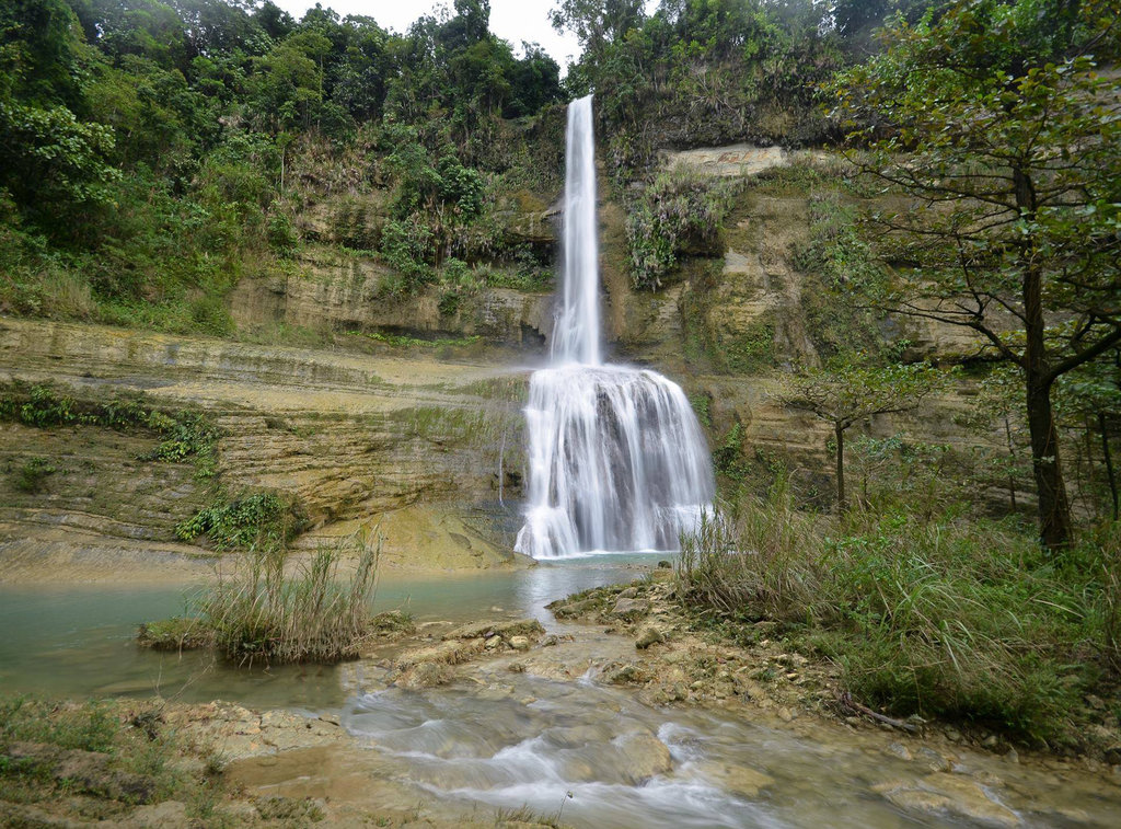
Can-Umantad Falls is regarded as the tallest waterfall in the entire province of Bohol. From a height of 60 meters, its source water from Cadapdapan River falls down over a backdrop of horizontal to slightly dipping beds of calcareous and tuffaceous sediments of the clastic member of the Carmen Formation (Middle Miocene, 16 mya – 11 mya)
Alicia Schist
The Alicia Schist which appears to be Cretaceous is the lowest formation in Bohol area and the Ubay Volcanics which appear to be Paleocene approximately 100-145 million years old are exposed in the eastern to northern Bohol. The entire basement complex is overlain unconformably by a 2000m thick sequence of Lower Miocene to Pleistocene carbonate and clastic sedimentary rocks and igneous units.
Cadapdapan Rice Terraces
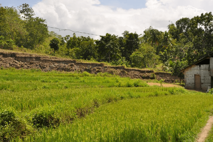
If you’re thinking that you could only see the grandeur of the rice terraces in Banaue, think again for Candijay will prove you wrong. The terraces were formed from elevated areas converted into farmlands by the natives of barangay Cadapdapan long time ago. Usually seen in pictures, the terraces’ dominating colors is golden yellow. A color which reminds them of the wealth left for them from their ancestors that are indeed worth remembering. You shouldn’t miss the aesthetics of the Cadapdapan Rice Terraces. See the panoramic view of the terraces and witness the dance of every weed at the touch of the wind. Savor the refreshing scent of air and cherish every minute of it.
Our Lady of Light Parish Church
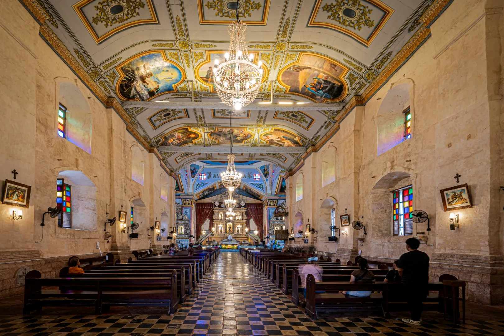
The Nuestra Señora de la Luz Parish Church, commonly known as Loon Church, is a Roman Catholic parish church in the municipality of Loon, Bohol, Philippines, under the Diocese of Tagbilaran. The parish was established by the Jesuits in 1753 and the original stone church was built from 1885 to 1864.
Batungay Caverns
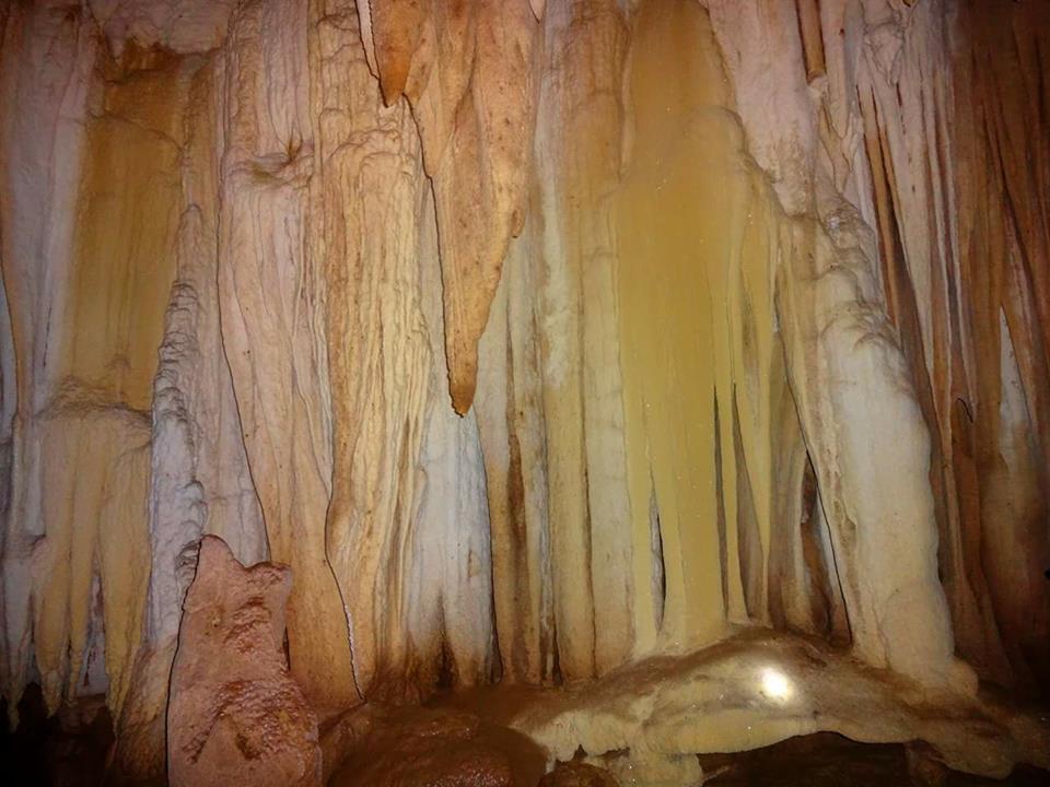
Underlain by extensive calcareous rock unit, Trinidad municipality, located in the northern part of the island, is also home to a number of caves. The most popular of these caves is the Batungay Cave located in a forested area of Brgy. Santo Tomas, in the interior part of the town. Batungay is derived from the word “bato”, meaning rock, and “ngay”, meaning twins. Literally, it means that the cave is beneath two solid rocks known as Batungay Twin Peak. Inside the cave is a flowing stream of clear water and majestic stalactites hanging from the cave ceiling and stalagmites jutting out from the cave floor forming different shapes like chandeliers and curtains.
The cave is uniquely known as having designated habitats for some species and unique cultural practices. The “Langub sa Has” or the cave of the snakes houses some snakes in the cave. The “Langub sa Kabyaw” is a habitat for the bats, and is a rich source of guano or bat manure used as fertilizer. The “Langub sa Simbahan” contains magnificent stalactites that glitter in the dark, hanging from the ceiling like huge chandeliers in cathedrals. There is also the “Langub sa Binlanan” where the traditional healers or the “tambalans” prepare their medicinal herbs and do their oraciones or rituals. They leave some of the concoctions they made in the cave, along with some food as an offering to the “apo” of the cave. The tambalans can go through the cave’s canals to reach a cave in Ilihan, Alicia, in another town. Ilihan Cave is known to be a sister cave or Batungay.
Cabagnow Cave Pool
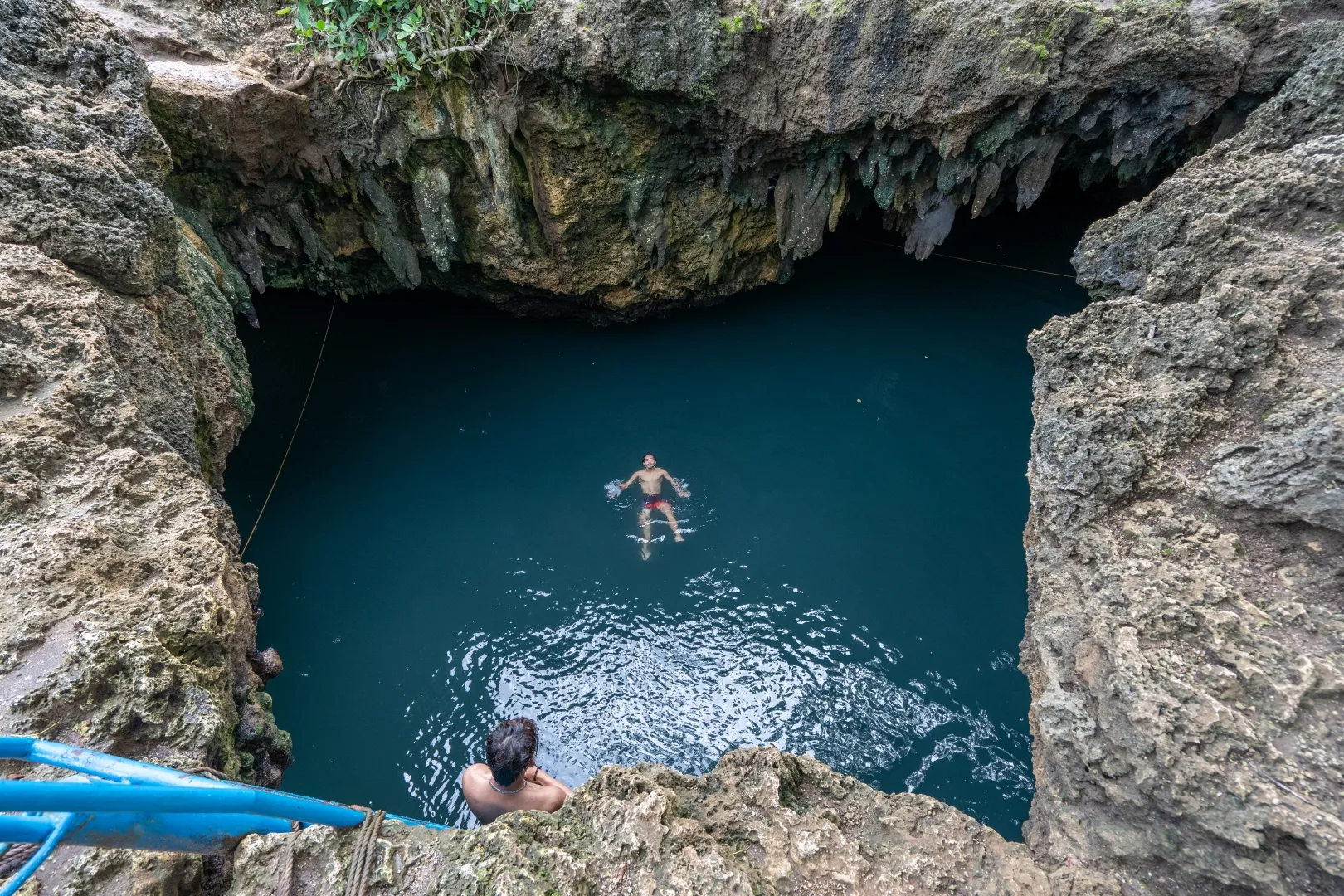
Aside from the fine white sand beaches in Quinale, the Cave Pools of Anda are becoming common destinations in the southeastern part of Bohol for adventure seekers. Due to the large percentage of land underlain by limestones, cave pools or basically limestones filled with spring water forming pools are common sights in Anda. Among the famous cave pools are Cabagnow and Combento, and the smaller Kaligoon Cave Pool, East Coast Cave Pool and Kalorenzo Cave Pool.
The area is underlain by the Middle Miocene Anda Limestone belonging to the Sierra Bullones Limestone Formation. Years of dissolution and weathering of this limestone body resulted in karst features like these caves.
Hinagdanan Cave
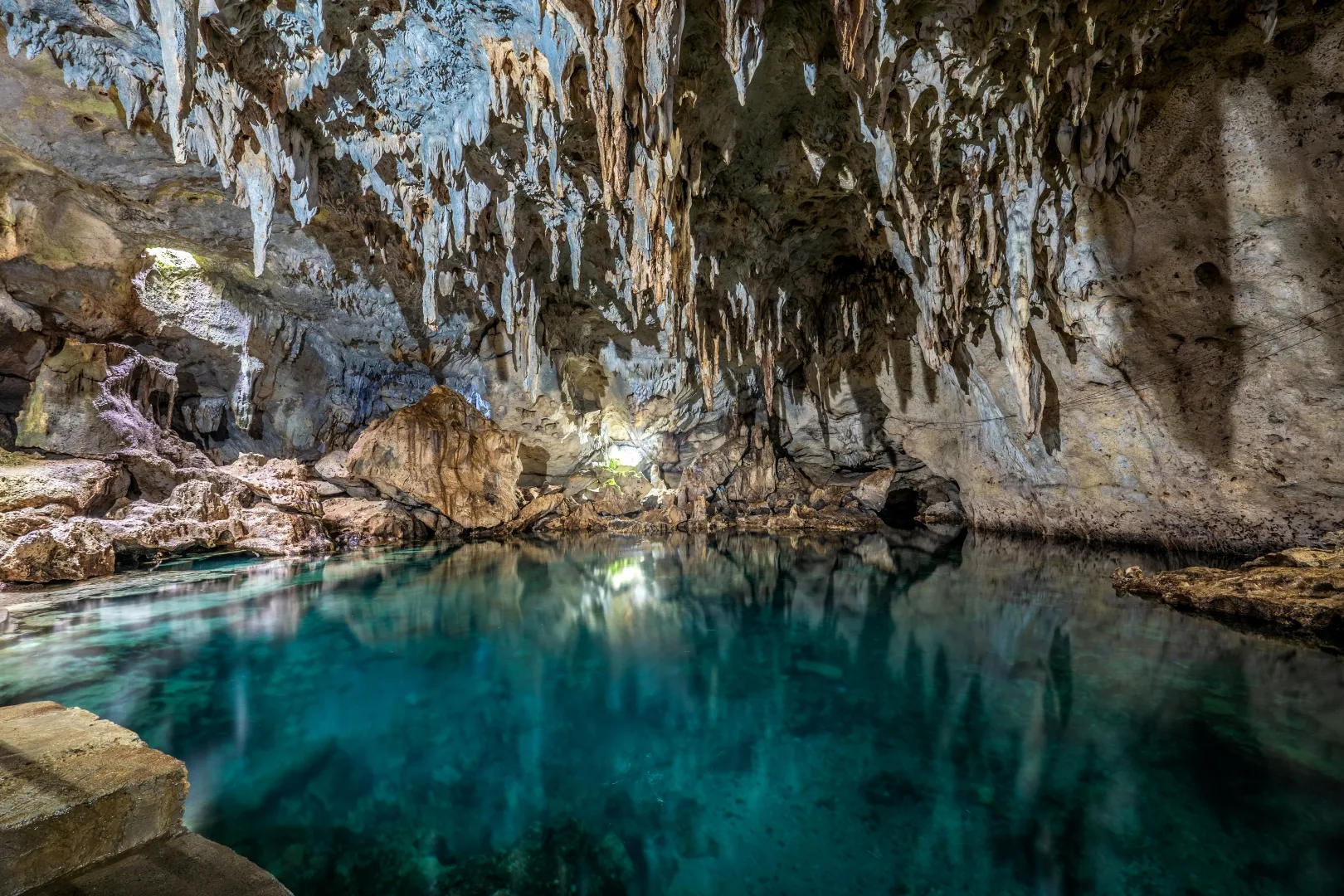
The Hinagdanan Cave is one of the many wondrous karst caves in the Province of Bohol. This cave was accidentally discovered by a farmer while clearing his land. Stumbling on a hole in the ground, curious, he dropped stone and heard a splash. He built a ladder, “hagdan”, and went down to find the cave’s hidden beauty, hence the origin of its name Hinagdanan. It boasts of several stalactite and stalagmite formations and a clear lagoon that is about 10 to 20 meters deep. Aside from its awe-inspiring natural beauty, Hinagdanan also played a significant role in the history of Bohol. The cave was used during Second World War as a hideout by locals to escape from the Japanese Imperial Army.
Baclayon Uplifted Marine Terrace
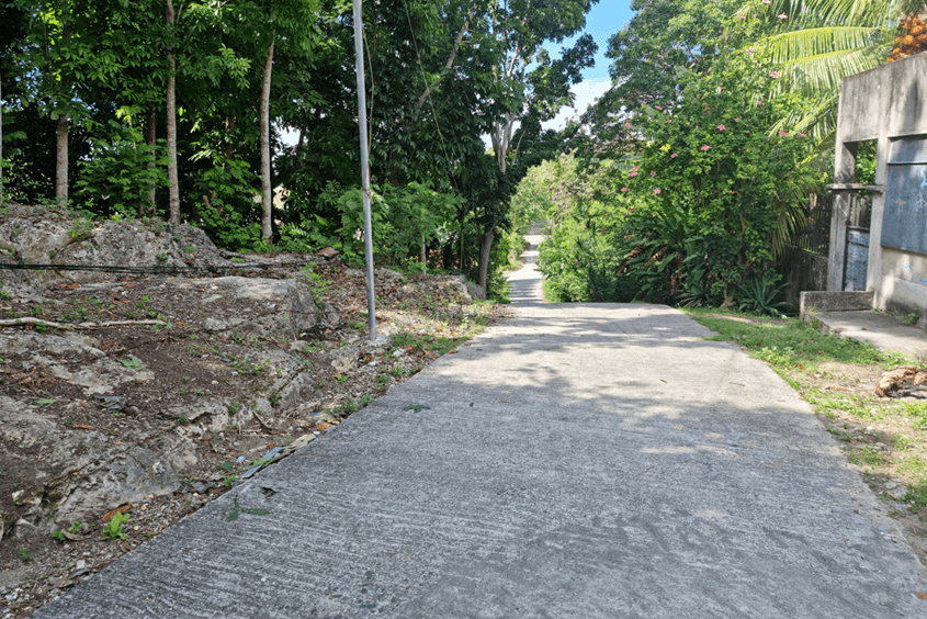
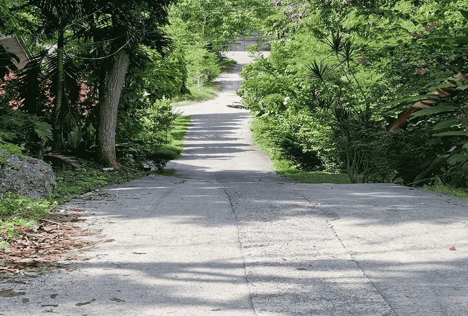
The uplifted marine terrace in Baclayon is a similar landform to the more recently uplifted marine terrace in Maribojoc. However, the terraces in Baclayon are much older. It was formed during the Pliocene-Pleistocene time (5 miion years – 10,000 years ago). Fault movement along the coast caused the uplift of formerly underwater reefs raising it at height above the sea and creating marine terraces seen at Baclayon. The three-step terraces there stand at 20 meters, 40 meters and 60 meters above sea level signifying at least three episodes of progressive tectonic uplift in the area. The Ancient marine terraces can be observed in the step-like quality of uphill roads that branches inland from the highway in Baclayon.
Canawa Cold Spring
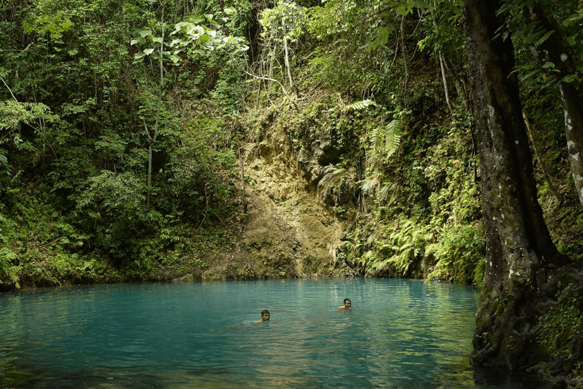
Tucked within a lush green forest in the town of Candijay is a popular leisure area for locals known as the Canawa Cold Spring. Its name came from the local term “Cawa” which means “pan”, taking from the natural shape of the spring. The depth of the spring is still unknown; several attempts has been made to dive at the floor of the spring but it was said that the water is too deep no one has been able to reach the bottom. Even the actual source of the spring water is still unknown.
The spring is carved out of the Middle Miocene Carmen Formation comprised of 400 to 800 m thick calcareous sedimentary formation. Concrete walls and stairs were built on the spring entrance to be of help to those who cannot swim especially to the children, but the main part of the spring which is the circular pool, was kept in its natural state.
Princess Manan-aw Cave
Princess Manan-aw cave is one of the numerous caves included in the Cagong-cagong cave system. It has a total length of 195.5 m, the entrance is measured to be 5.6 m. and width f 3.7m. The cave is carved out of coarse and reefal calcareous rocks belonging to the later Milocene Sierra Bullones Limestone. It has plenty of speleothems and underground river flowering inside the cave.
Inabanga Rupture Site
The Magnitude 7.2 earthquake in October 15, 2013 in Bohol damaged billions worth of infrastructures and properties including several centuries-old churches. It was caused by a previously unmapped fault which manifested on the land surface as an elongated fissure on the ground and can be traced for 6 kilometers from Brgy. New Anonang in Buenavista up to Brgy. Napo in Inabanga, and is believed to extend even further offshore. The most prominent expression of the fault is in Bgy. Anonang, Inabanga, where, a formerly flat rice field was cut and the northern part raised to up to 3 meters high, forming a conspicuous wall called a fault scarp. The scarp stretches for up to 2 kilometers long. The movement along the fault wherein one side moved upwards with respect to its opposite side as manifested in the fault scarp can only be caused by a tremendous amount of energy which is released during the Magnitude 7.2 earthquake.
Danajon Double Barrier Reef
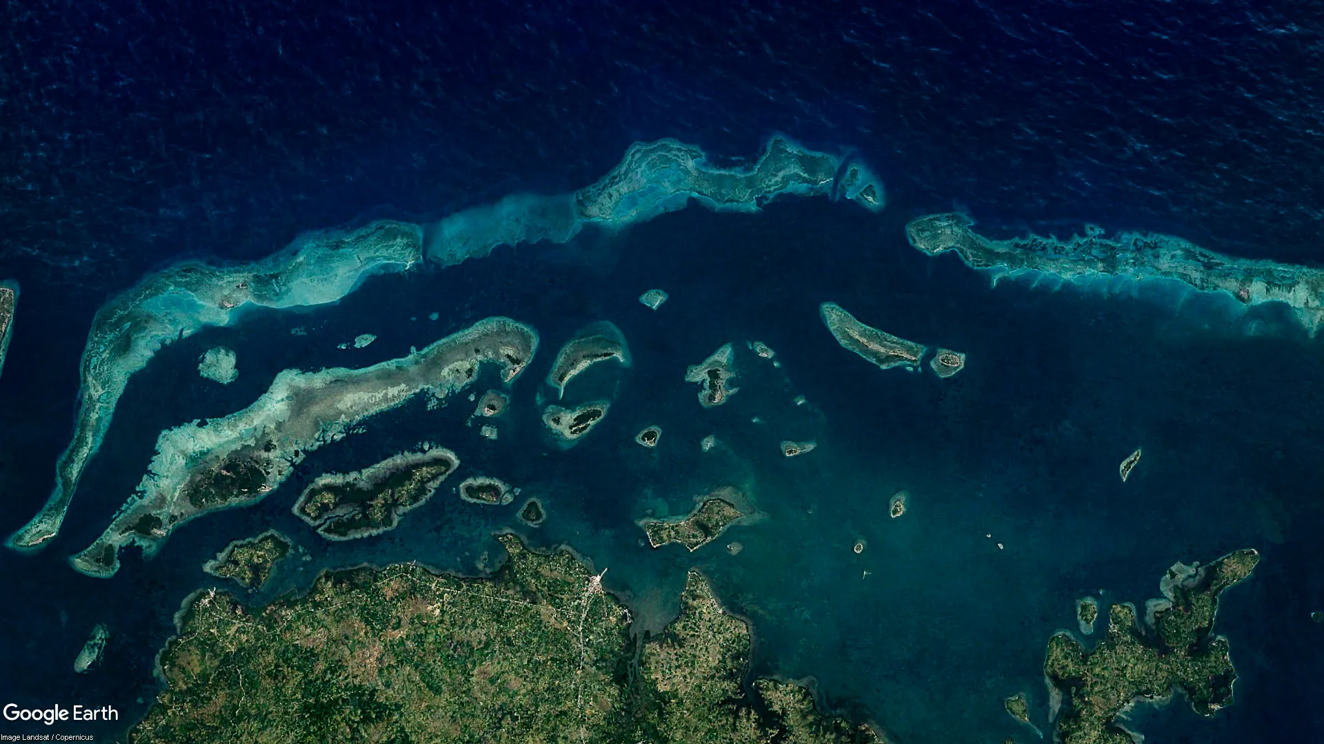
Parallel to the northeast coast of Bohol is a very rare geological formation known as the Danajon Double Barrier Reef. It is one of the 6 double barrier reefs in the world, one of 3 in Indo-Pacific and is the only one of its kind in the Philippines and Southeast Asia. It is composed of numerous but diverse islets and reef patches joining together into an inner Calituban and outer Caubyan barrier reef. Because of its unique coral reef ecology, it is a major breeding ground and habitat of many different species of fishes, marine mammals, mollusks, and seagrasses.
Lamanok Island
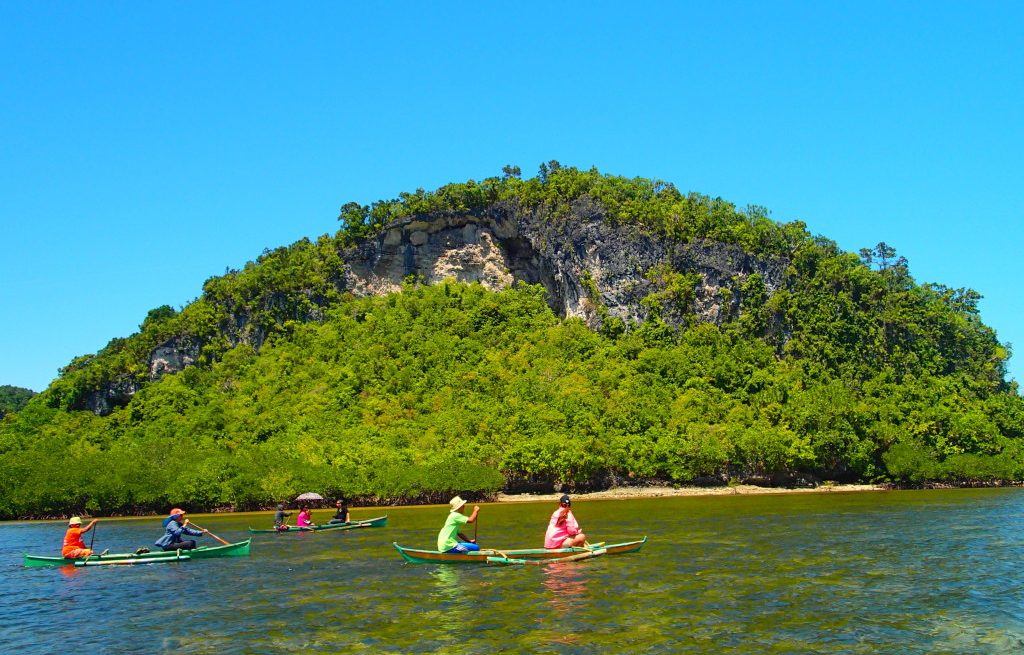
Lamanoc is famous for its limestone cliffs and flourishing plant life and wildlife. Check out the caves and you’ll find old clay jars, several boat coffins and a rock shelter that contains graffiti dated during prehistoric era. Relics of prehistoric painting made using hematite painted on cave walls are observed, but age and meaning of these figures are unknown. The locals practice their centuries-old tradition they were accustomed to, such as offering gifts to a “diwata” whom, according to them, is the protector of the island. For the people of Lamanoc, the observance of such tradition will bring them abundant food harvest which is rooted in their strong ancestral beliefs even before they were converted to Christianity by the Spaniards.
Loon Uplifted Marine Terrace (Coral Garden)
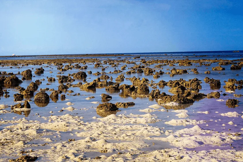
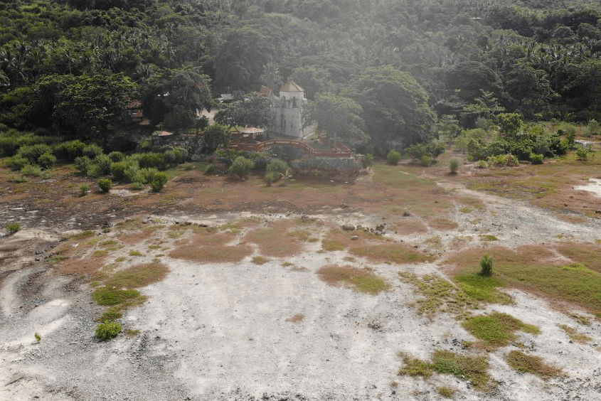
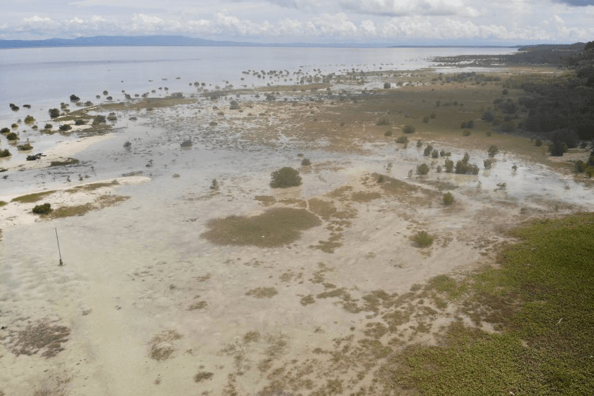
One of the shoreline areas uplifted during the earthquake of October 15, 2013 is the presently named Loon Coastal Geomorphic Conservation Park which covers an area of 417 hectares. This former intertidal zone, where the tide sometimes submerged or exposed the land, is now an uplifted terrace and completely on dry land. It was raised approximately 1.5 meters vertically and the shoreline shifted 50 meters seawards. The former barren land right after the earthquake is now teeming with sea purslane, a creeping succulent seagrass plant of the family Aizoaceae, that covers the land with a mat of red and orange color during sunny days, and a luxurious green color during rainy days. The locals call the area the Coral Garden, a popular new destination for tourists and residents alike.
Maribojoc Uplifted Marine Terrace
A 7.2-magnitude earthquake that rocked Bohol on October 15, 2013 brought devastation everywhere on the island and some nearby island provinces. The shaking was the result of a demonstration of nature’s power that has been changing the face of the Earth for millions of years: uplift of blocks of land during movement along a fault. This time the coastal areas of Loon-Maribojoc were pushed approximately 1.5 meters upwards when motion occured along a new fault in Inabanga. What was once a portion of the sea bottom and an underwater reef was now thrusted above sea level, creating a newly raised marine terrace and shifting the coastline 50 meters seaward. This is the Maribojoc Uplifted Marine Terrace. It is declared as the Loon-Maribojoc Geologic Monument by the Department of Environment and Natural Resources under the DENR Administrative Order No. 2015-08. The geological monument covers 1.37 kilometers (137 hectares) of uplifted coastline within the towns of Loon and Maribojoc.
Older marine terraces can also be found inland as part of the limestones of Maribojoc Formation. They too were a result of tectonic uplift in the not so distant geologic past, proof of the immense power of nature to create ever changing landscapes.
Visit Us
Bohol Environment Management Office, Lino Chatto Drive, Tagbilaran City, Bohol, Philippines
Call Us
(038) 411-1038
Local 41011
Follow Us
Facebook: boholislandgeoparkph
Instagram: boholislandgeopark
Twitter: boholgeopark